









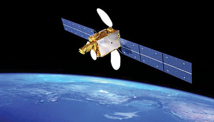
So far many countries have launched their satellites in space for research in space, to get new information and to know the changes happening there. Pakistan has also sent satellites for these purposes.
Last year, Pakistan launched a satellite named iCube Qamar to the Moon with the help of China’s space rocket Cheng E-Six, making Pakistan the sixth country to send a satellite into lunar orbit.
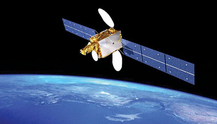
Pakistan’s satellite iCube Qamar also sent images after entering the moon’s orbit. In this regard, Pakistan recently launched its first “hyperspectral satellite” into space using a Chinese satellite station. This satellite is called “HS”. One (HS-1) has been named.
According to Sparco, a Pakistani space research institute, it was successfully launched from the Jiuchuan Launch Center in the northwestern region of China. H.S. One satellite is equipped with advanced hyperspectral technology and can provide detailed data on agriculture, climate change and land structure.
Apart from this, it will also help in urban planning, management during natural calamities. Hyperspectral imaging satellite HS1 covers 130 bands. Modern satellites are capable of obtaining accurate images in hundreds of optical bands.
According to research published in the Journal of Computational Intelligence and Neuroscience, this technology differs from ordinary satellite cameras because ordinary cameras only capture a few colors (such as red, green, and blue), while hyperspectral cameras record hundreds of very fine color bands, allowing them to detect optical differences that cannot be seen by the human eye or ordinary satellites. Equipped with advanced hyperspectral imaging technology, the satellite is capable of acquiring data in hundreds of fine spectral bands.
According to Manager Satellite Research, Ayesha Rabia Ahsan, through this hyperspectral satellite, detailed information and images regarding land and air can be easily obtained. This satellite will observe every part of the earth. This will provide information on environmental monitoring, deforestation and urban expansion.
Bands installed in it will also provide information of many shades of different colors through which we will be able to compile the data easily. With the help of the height of the crop and the light passing through them, this satellite will also give us information about the condition and health of the crop.
According to Manager Satellite, it used to be laborious to detect a disease in a part of the entire crop, but now with the help of this satellite, this data will be easily available and farmers will be able to identify that part of the crop and address it.
Apart from this, it will also help in dealing with environmental pollution, speed of melting of glaciers, threats to aquatic life in the sea. In the same way, irrigation system, identification of fertile land and water erosion will also be known.
In the agriculture sector, the HS-One satellite will enable precision farming through the acquisition and accurate measurement of high-resolution hyperspectral data. Through this, the data can be obtained very quickly and it will also help to get the desired results by feeding the data to the computer immediately.
A spokesman for the project says the hyperspectral satellite is expected to revolutionize agricultural planning and environmental monitoring. With the support of the government of Pakistan, the national plan has become a reality. It will help in monitoring deforestation, pollution and glacier melting.
He further said that hyperspectral satellite will help in identifying geo-hazards in CPEC projects. This mission is a strong step towards Pakistan’s self-reliance in space technology. H.S. One will make the country one of the emerging space leaders for sustainable development. The satellite’s in-orbit testing may take two months, two months after the HS. One Satellite will be fully operational.
Preparations for the launch were completed in the presence of Pakistani scientists and engineers. Hyperspectral satellite will be helpful and helpful in predicting floods, landslides and other natural calamities.
This is the third satellite of Pakistan to be sent into space this year, before ‘EO’. One” January 2025 and “KS. One’ has been successfully launched into space in July 2025.
Both satellites are currently fully operational. Pakistan’s space program is entering a new era of advanced technology and applications. HS One will open new avenues for infrastructure mapping and urban planning, says a Sparco spokesperson.
This mission of Pakistan is an important milestone of National Space Policy and Vision 2047. Pakistan is working on Vision 2047 related to research in the space sector, under which the sector will be promoted in a phased manner. Next year Pakistan’s first astronaut will go into space.