








The new map of the world released by the United Nations has once again attracted attention.
According to foreign media reports, the United Nations General Assembly voted in favor of changing the current map of the world on Friday.
According to media reports, 164 countries, including France, Britain and India, voted in favor of showing the size of Africa more accurately, while only the United States opposed the map.
Now this map has given birth to a controversy after it has been revealed that the geographical boundaries of India are shown in a different way.
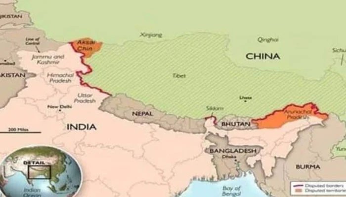
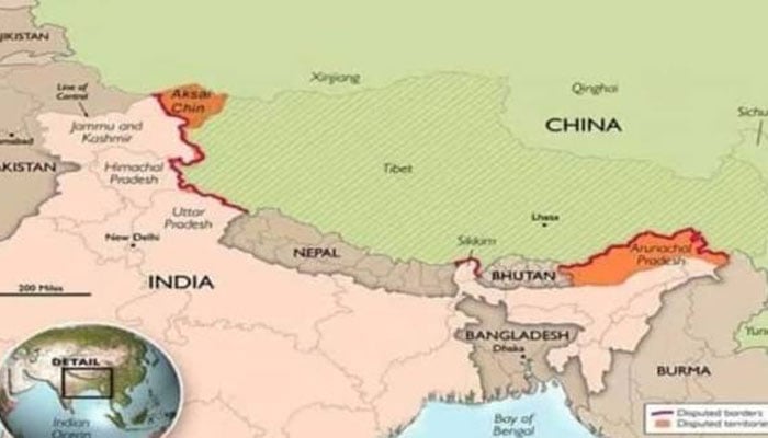
This map shows Arunachal Pradesh and Aksai Chin as separate regions between India and China’s mutual border claims.
New Delhi considers Arunachal Pradesh to be part of India while Aksai Chin is part of Ladakh.
This map was released for the first time during the debate on the resolution of the United Nations General Assembly on July 1.
Interestingly, India supported this resolution presented under the title of Correct the Map.
According to media reports, the map removes Arunachal Pradesh’s border with Nagaland while showing the region as a separate state, bordering Assam and China.
Similarly, the map shows Aksai Chen as a separate region, bordering India on the west and China on the east.
The United Nations did not provide any explanation for the changes made to the map.
The United Nations approved the new map
It should be noted that the United Nations General Assembly last week approved the resolution entitled Correct the Map presented with the support of the African Union.
The resolution calls for more accurate and fair geographical representation in the mapping of different regions of the world, especially Africa.
The resolution is not legally binding, but it is expected to be incorporated into the standard map of the world by multilateral organizations around the world and adopted as a standard map representation globally.